- Title
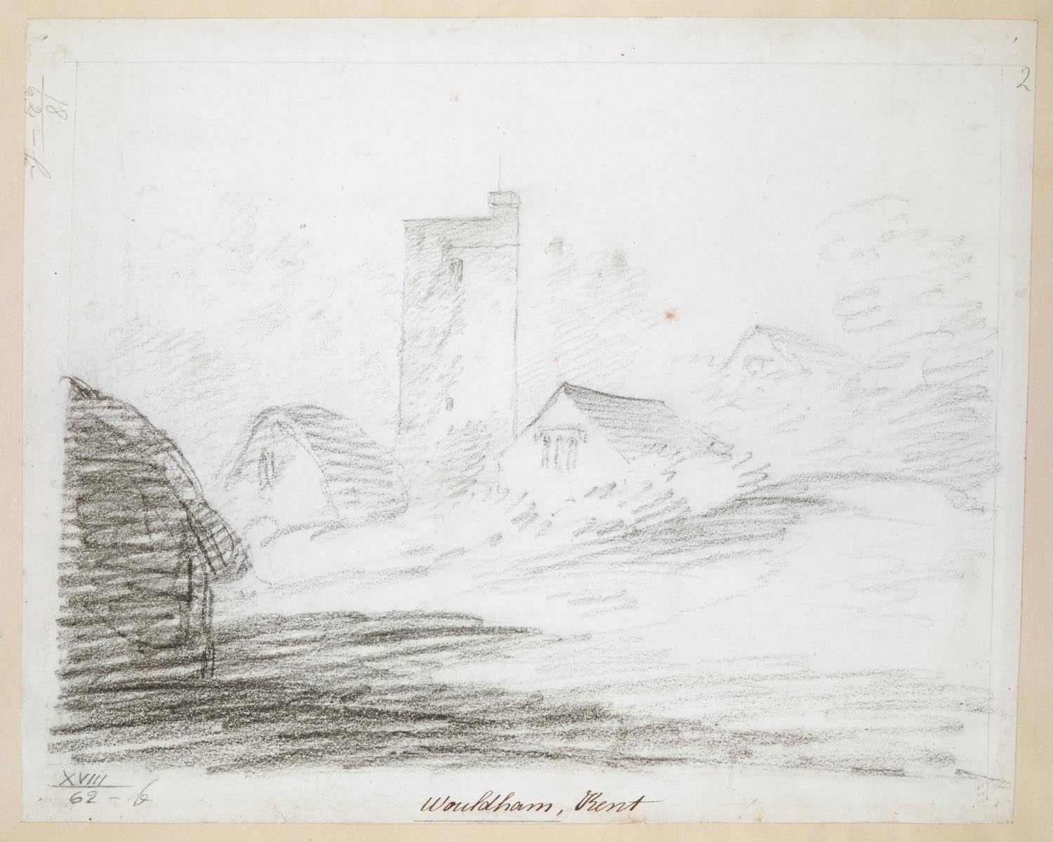
- Wouldham Kent.
- Publication details
- [after 1798]
- Physical details
- 1 drawing : black chalk ; sheet 21.2 x 26.2 cm
- Description
- All Saints Church in Wouldham, Kent; buildings in front; trees on either side. Inscribed with title in brown ink along lower edge.
- Place
- Kent (England)
- Additional information
- This drawing is part of a group of works by the same hand: [Maps K.Top.18.62.a.-Maps K.Top.18.62.e.], [Maps K.Top.18.53.1.], [Maps K.Top.18.62.a. -Maps K.Top.18.62.e.], [Maps K.Top.18.34.2.a.- Maps K.Top.18.34.2.c.], [Maps K.Top.18.28.a.-Maps K.Top.18.28.b], [Maps K.Top.18.31.c.-Maps K.Top.18.31.d.], [Maps K.Top.18.27.a.-Maps K.Top.18.27.g.], [Maps K.Top.18.15.a.1.-Maps K.Top.18.15.a.5.] and [Maps K.Top.17.2.2.d.-Maps K.Top.17.3.a.15.]. Three works depict West Malling Abbey in this group are at Maps K.Top.17.3.a.11.-Maps K.Top.17.3.a.13. and can be dated to after 1798 which suggests a broad date of 1790-1800 for the group. The drawing at Maps K.Top.18.62.a. bears a watermark of 1798.
- Shelfmark
- Maps K.Top.18.62.b.